
The Lines of Torres Vedras
Heavy topic. This story deals with a heavy topic.
This story is for teenagers 12+. This story deals with a difficult topic. Open?This story deals with a difficult topic. Open?
Portugal spent a year building forts the French barely knew existed.
The story
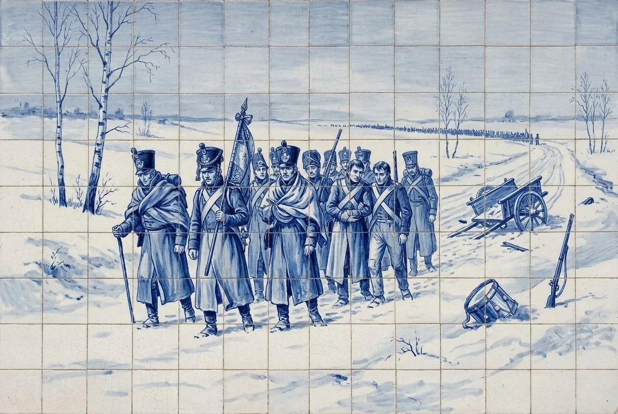
In October 1809, Wellington ordered fortifications built on the hills north of Lisbon. Portuguese workers raised forts and redoubts in secret. In September 1810, Marshal Masséna marched on Lisbon with about 60,000 men, through a land stripped of food by its own farmers. On 11 October he reached the Lines of Torres Vedras. A month later, hungry, he turned back.
More
Context
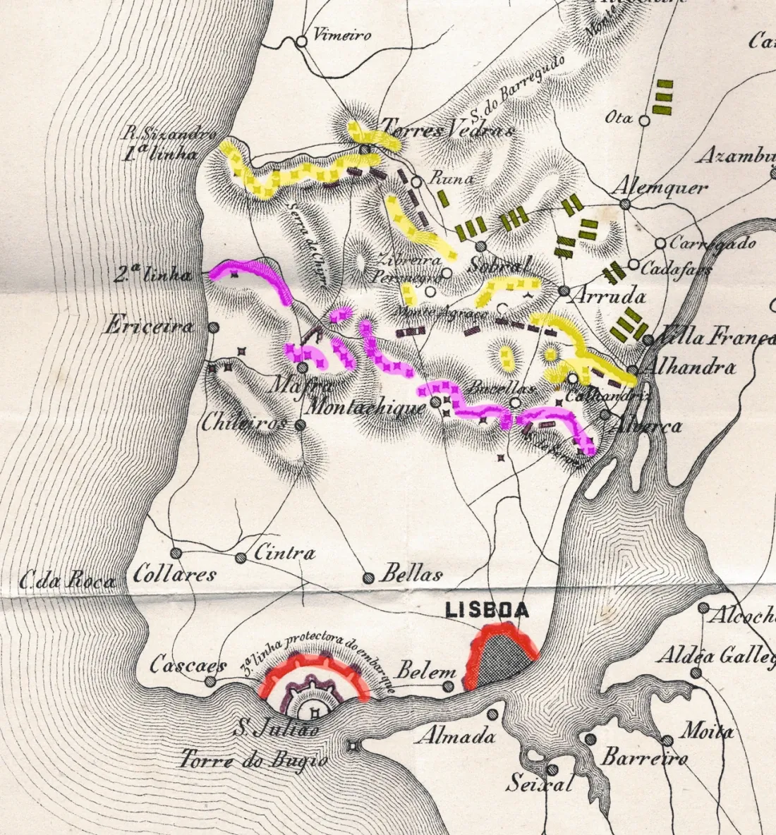
The system had three lines of forts and redoubts between the Tagus and the Atlantic, designed by Wellington's chief engineer, Colonel Richard Fletcher. The biggest fort, São Vicente at Torres Vedras, had a garrison of about 2,000 men and room for around 4,000. Portuguese farmers left their land and destroyed the food they could not carry, so the French army went hungry. The French probed the lines at Sobral on 13 and 14 October, then camped in front of them until mid-November. Sources differ on the number of forts, and put Masséna's army at the lines between just over 50,000 and 61,000 men. The campaign was also a disaster for civilians: some estimates speak of tens of thousands of Portuguese dead from hunger and disease.

Bridge to today
Lines of Torres Vedras Interpretation Centre (São Vicente Fort)
Centro de Interpretação das Linhas de Torres Vedras (Forte de São Vicente)
At the São Vicente fort, an interpretation centre explains the lines that protected Lisbon.
Forte de São Vicente, 2560-629 Torres VedrasBridge to today: Lines of Torres Vedras Interpretation Centre (São Vicente Fort)


Sources (7)· links checked on
- Wikipedia: Battle of Sobral
- History of War: Lines of Torres Vedras
- Military Wiki / Wikipedia: Lines of Torres Vedras
- Chartrand, Fuentes de Oñoro 1811 (Osprey) · book description
- Rota Histórica das Linhas de Torres Vedras: Centro de Interpretação (Capela do Forte de S. Vicente)Accessed on
- Portugal Film Commission: Fort of São VicenteAccessed on
- British Historical Society of Portugal: Wellington took refuge behind the Lines of Torres VedrasAccessed on